Bryce Canyon: Chasin’ down a hoodoo there
Bryce Canyon is a wonderland filled with limestone fins, windows, and red rock hoodoos that were formed, and continue to form, as water sculps the canyon walls.

Ebenezer Bryce, whose name was given to the Bryce Canyon area, was among the early Morman pioneers who settled here in the 1850s.
Initially designated in 1923 as a national monument by President Warren G. Harding, it would be redesignated by congress in 1928 as the 17th American National Park.
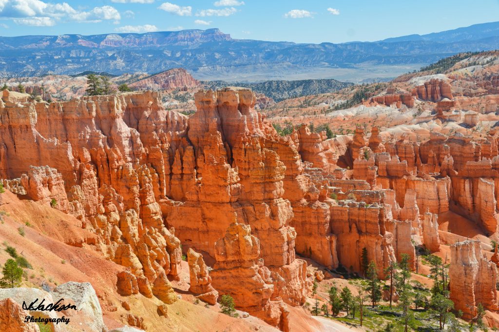
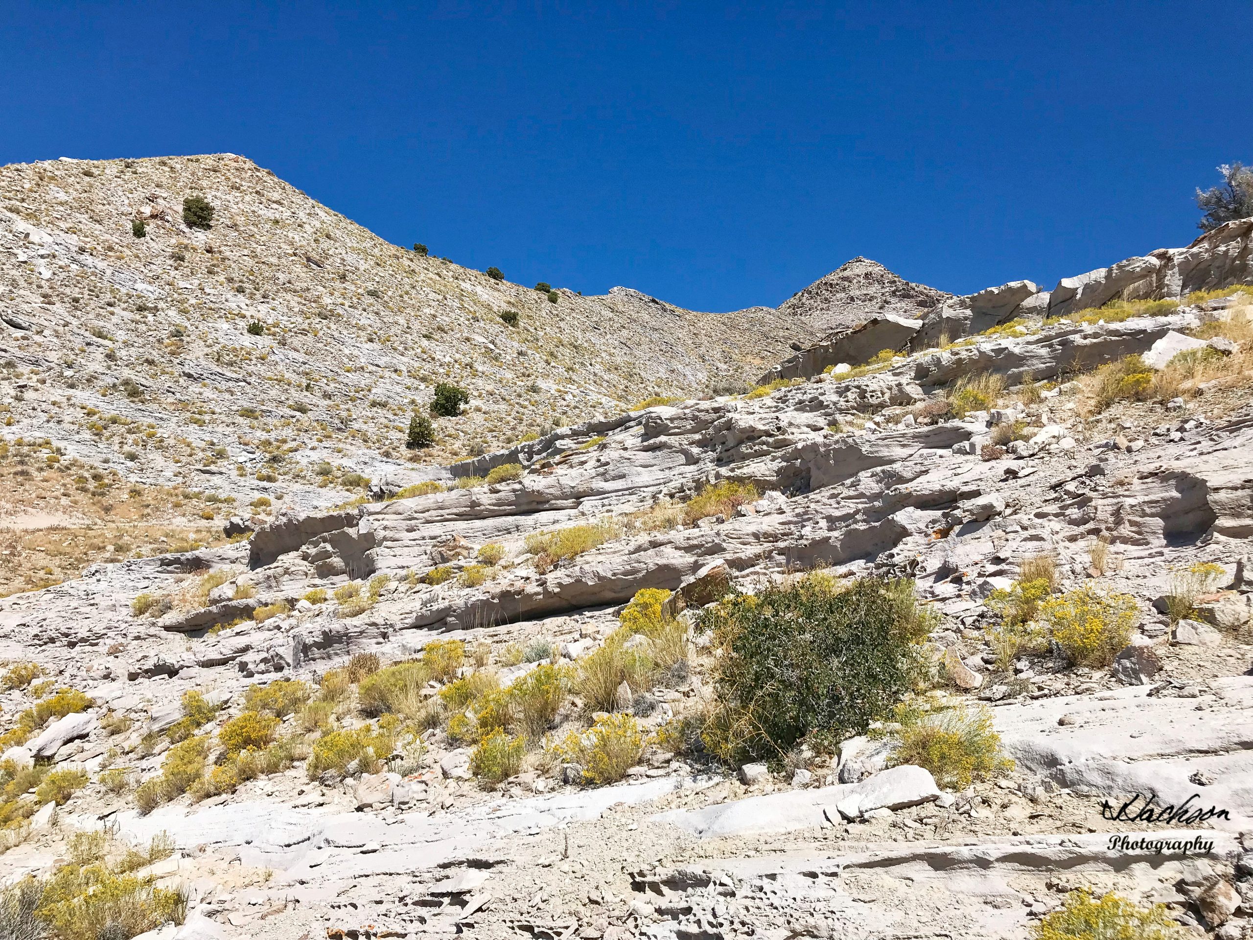
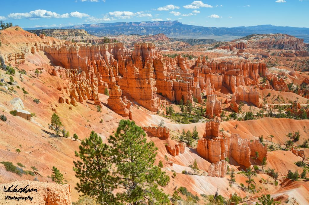
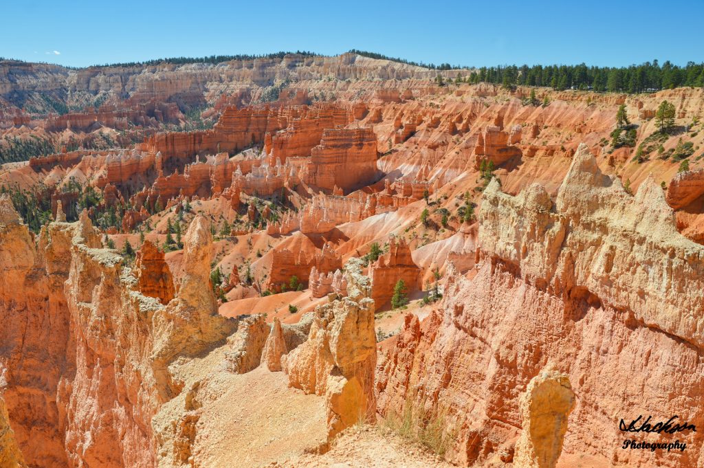
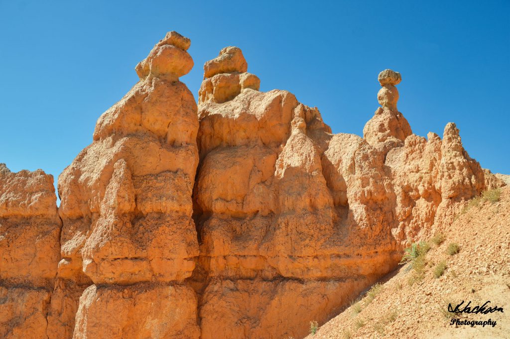
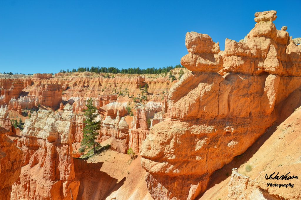
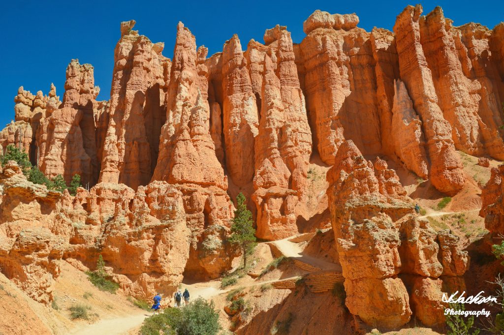
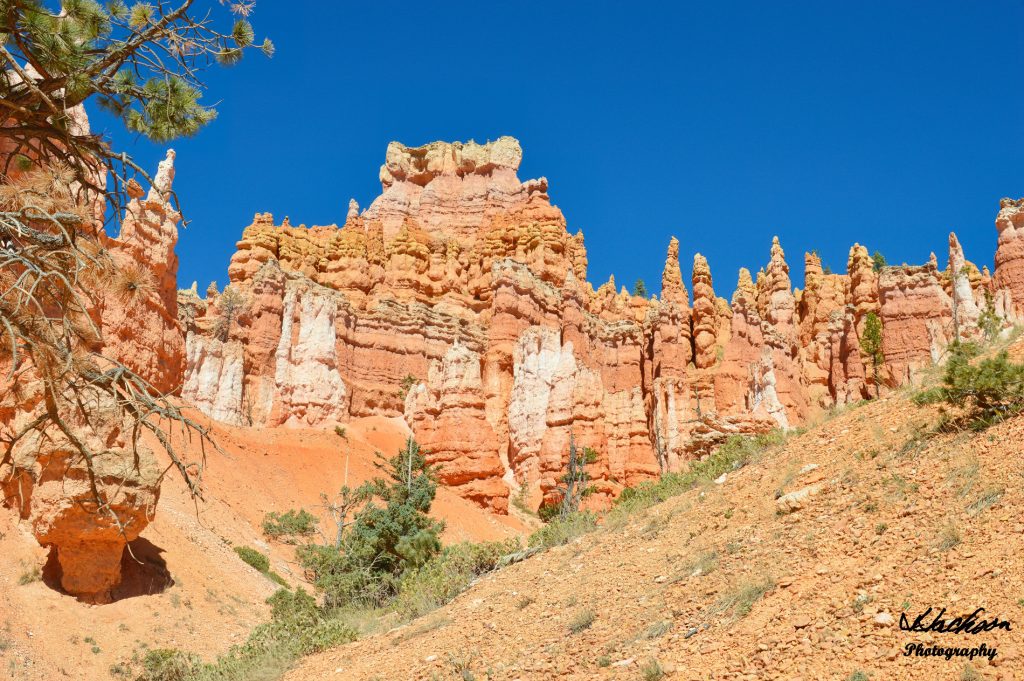
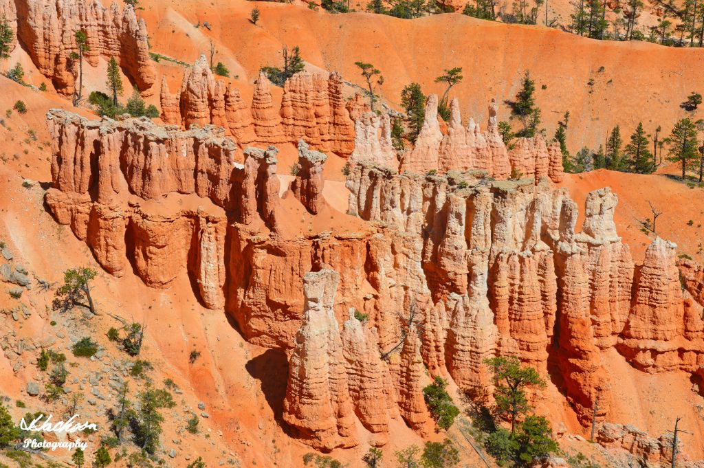
Although the park’s name implies that it is a canyon, it is in fact not a canyon but a series of several large and natural amphitheaters. Bryce Canyon is famous for the ever-changing red rock hoodoos, geological features that are constantly being eroded from frost and rain.
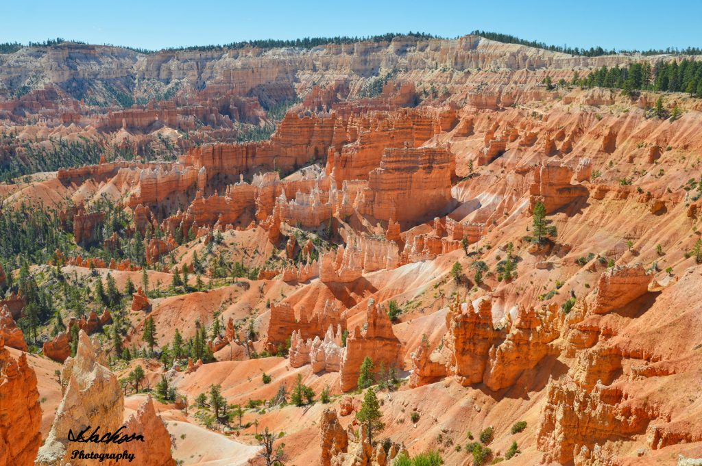
The colors of the numerous limestone formations are a fantastic array of sherbet, orange, apricot, peach, red, coral, tan, persimmon, pumpkin, yellow, vermillion, and cream. As the light changes, so do the colors of Bryce Canyon.
The park covers 35,835 acres (~56 square miles) and despite its more remote location in comparison to nearby Zion and Grand Canyon National Parks, in 2018 it received some 2,679,478 visitors.
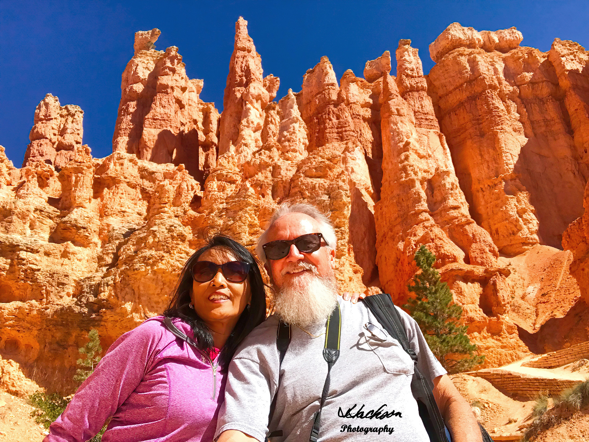
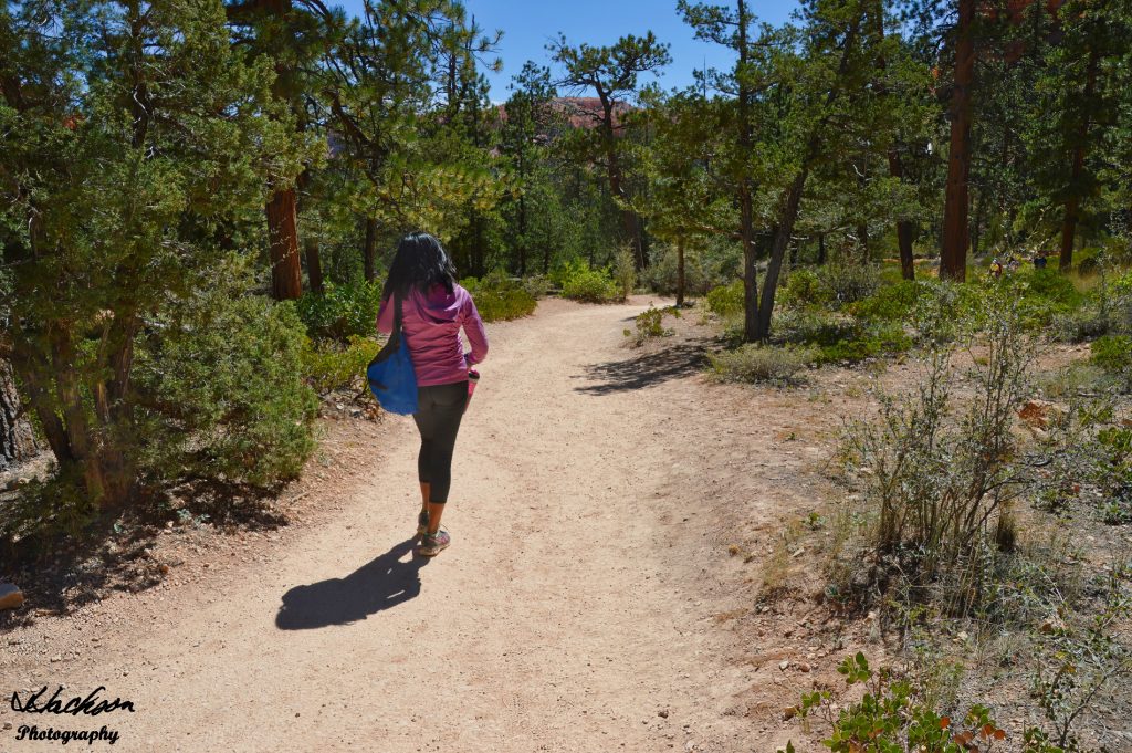
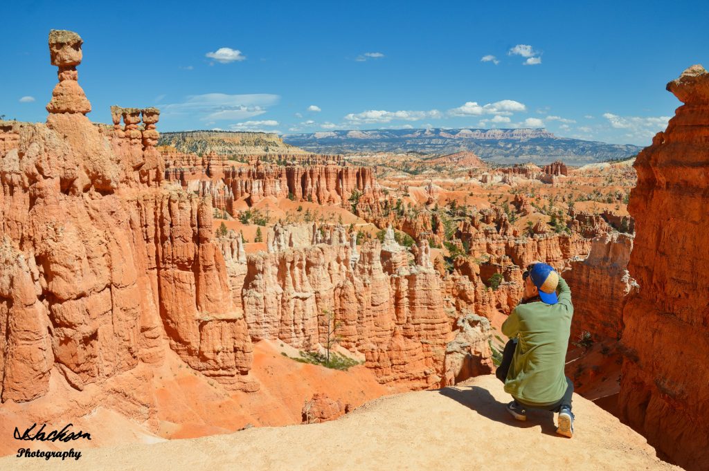
In order to get a glimpse of the various formations, consider taking the Queen’s Garden Trail that begins at Sunrise Point and connects to several other trails. Before you start, grab a free map and plan out your hike so that you see the main features of Bryce Canyon like Queen Victoria, Wall Street, Twin Bridges, and the not to be missed Thor’s Hammer.
When Ebenezer Bryce homesteaded here he chose to live right below the Bryce Amphitheater which has the largest collection of hoodoos in the park. Within what is now national park boundaries, Bryce grazed his cattle, and at one time remarked that the amphitheaters were a “helluva place to lose a cow.”
![]()
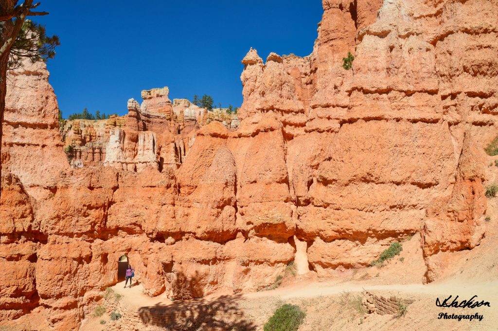
Heed the warning from Mr. Bryce and don’t be like one of his cows! Stay on marked trails! Many injuries occur from slips and falls, and getting lost is easy if you stray off course. As the brochure says, “Explore within your abilities, and don’t ruin your vacation with a trip to the hospital!”
The hike is not too difficult but it is not exactly a flat, walk in the park! Wear good, comfortable shoes, and drink plenty of water! It is recommended that you drink at least 1 liter of water for every two hours that you plan to hike.
Although we were there on a most spectacular cloudless day, the weather can change very fast. If you hear thunder, it is probably within 10 miles. Get to a safe place like inside a building or vehicle. Avoid trees, hoodoos, and tall objects until after the storm passes.
Be smart about your pets and don’t leave them locked in your vehicle! Pets are not allowed on the hiking trails. They are only allowed on paved areas and must be on a leash at all times. Be courteous and clean up after your pets!
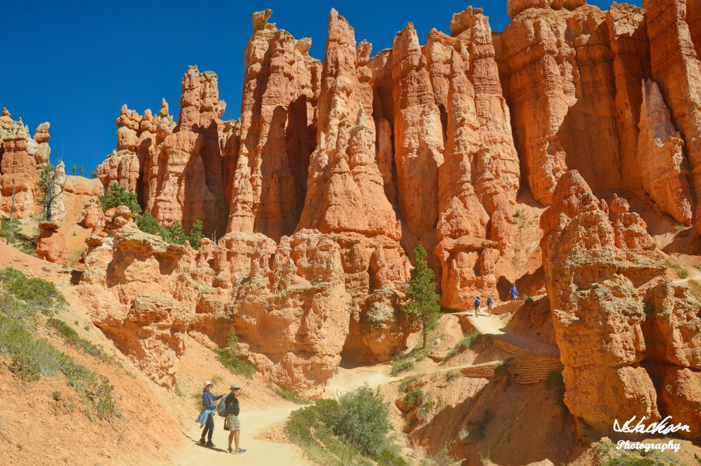
The trails are relatively easy to navigate. Stay on them! Don’t even think about climbing any of these beautiful natural formations!
Although somewhat rare, the park does have dangerous wildlife including the Great Basin Rattlesnake and the Mountain Lion. Always be alert!
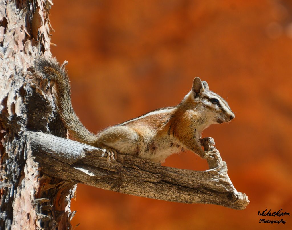
One of the gentler species of animals that live in the part is the Uinta Chipmunk. However, as with any wildlife or artifacts in the park, leave them alone.
Dress in layers so that as the day heats up, you can remove warmer articles of clothing. Consider bringing a light lunch or a snack to enjoy part way through your hike. And take enough stops along the way to enjoy your unique surroundings.
![]()
Depending on which trail you choose to take, the last leg is the upward climb. As you leave the lower canyon, you begin a steady climb back to the top, in our case to Sunset Point.
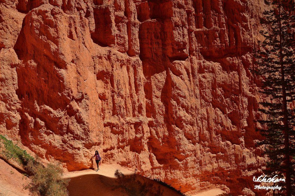
Along this last portion of the trail, you will be mesmerized at the sheer walls and the sheer beauty of this place. The colors are fantastic as the sun begins its descent into the western horizon. The “golden hour” will present you with some amazing colors that seem to change by the minute.
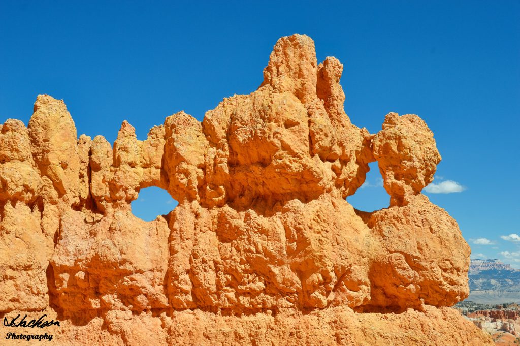
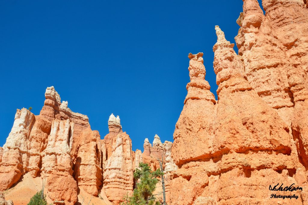
Windows of limestone that continue to be weather formed greet you at nearly every turn. You may see them one way on this trip, but a few years from now, when you return, they will have taken on a completely different look and shape.
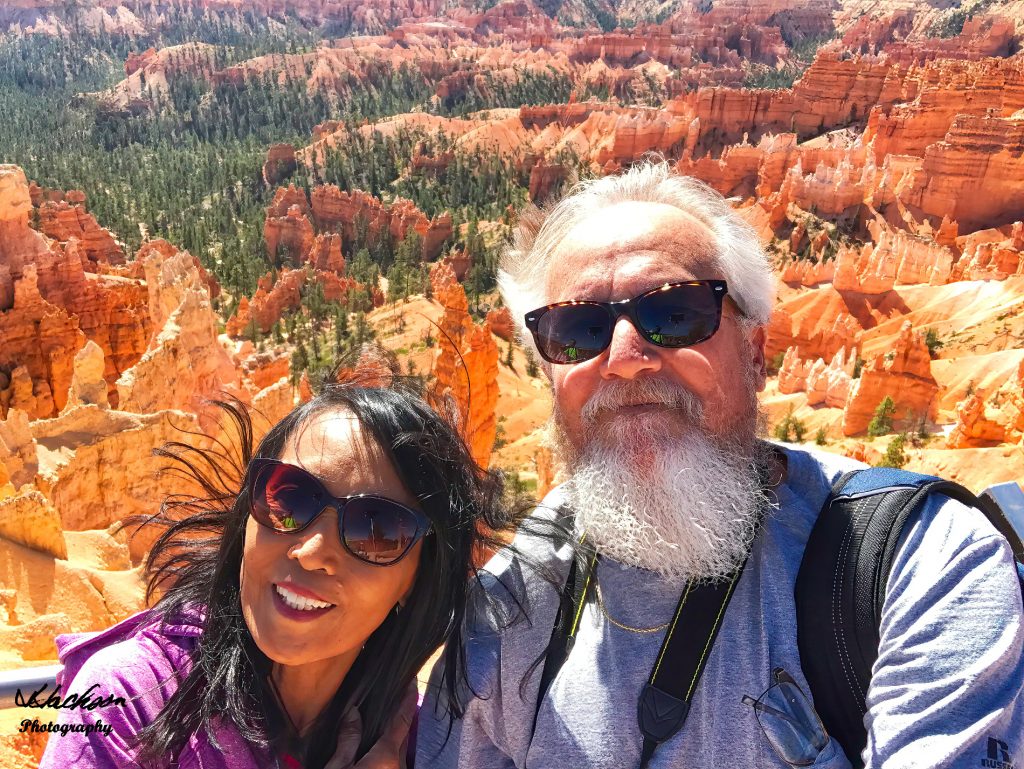
This hike has taken us from Sunrise Point to Sunset Point which themselves are within easy walking distance at the top of the amphitheater. Take plenty of photographs to help you remember your time in this spectacular place.
![]()
As you near Sunset Point you will see Bryce Canyon’s iconic view of Thor’s Hammer. Its size will make you feel rather small in the scheme of things and you may reflect on how this masterpiece started out life and how it evolved over time.
As you complete the loop you try to imagine which part you enjoyed the most as each portion is unique and has a special feature all of its own. However, keep aware of where you are, as the drop is very steep and a long way down!
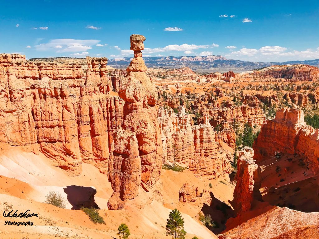
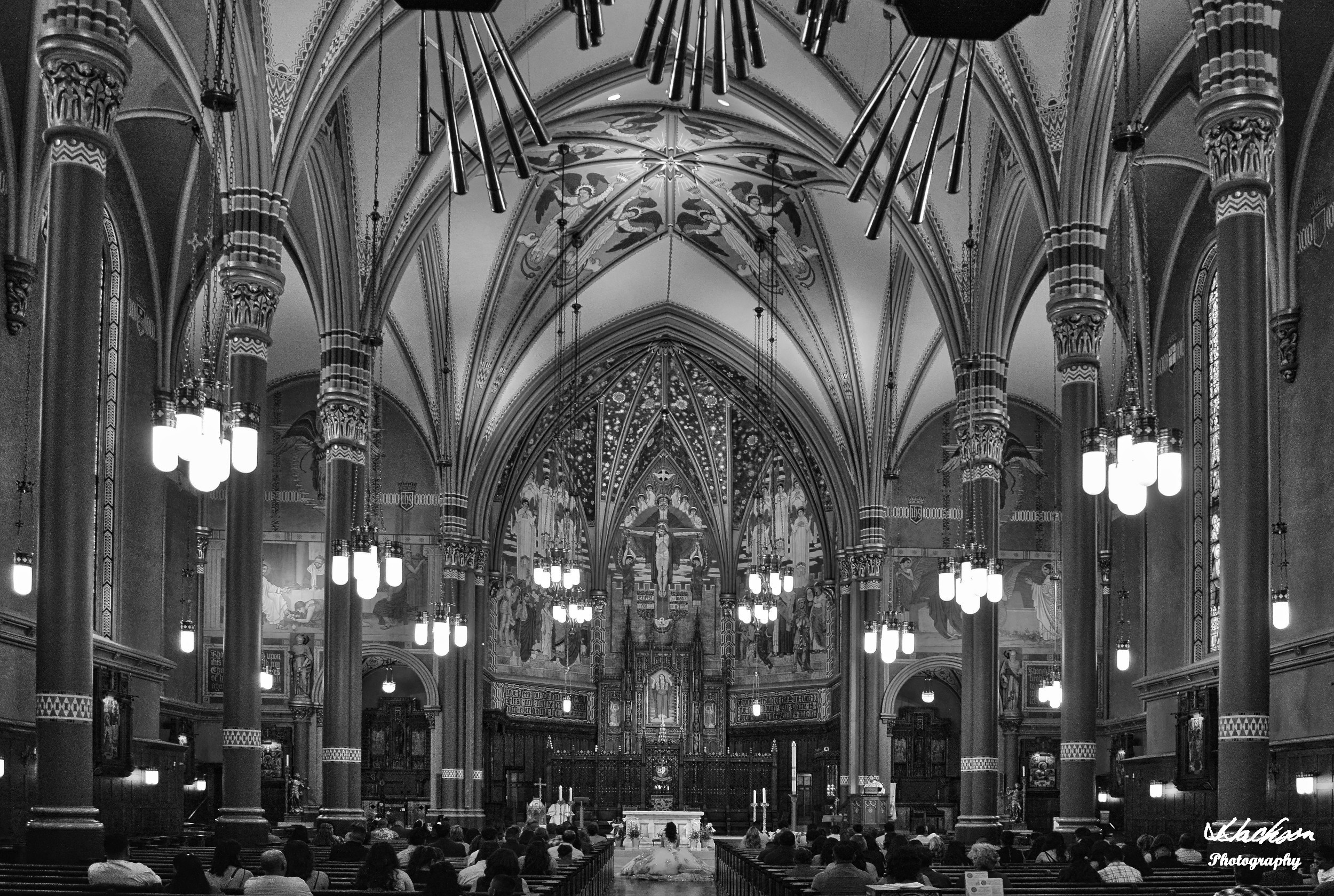
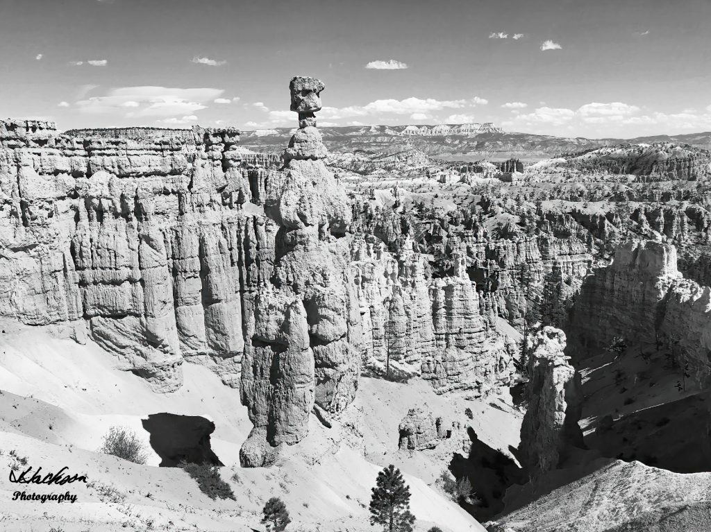
If you enjoy photography, this is the place to engage in it. With the numerous shapes, shadows, textures, and contrasts, this place is also great for converting your color images (above) into black and white images (below).
Bryce Canyon is another of those American National Parks and Monuments that we are so lucky that our forefathers had the vision to create for our children and our children’s children for all time. And as with all national parks, it can get a bit crowded in places. Have patience and enjoy these magnificent works of Mother Nature.
A visit to Bryce Canyon National Park will definitely add a memorable drop in the bucket!
All photographs are the copyright of Jim Jackson Photography. Please contact me with any questions, comments, or for authorization to use photos or for signed, high-resolution prints.
If you found this article useful, please like, share, and follow.